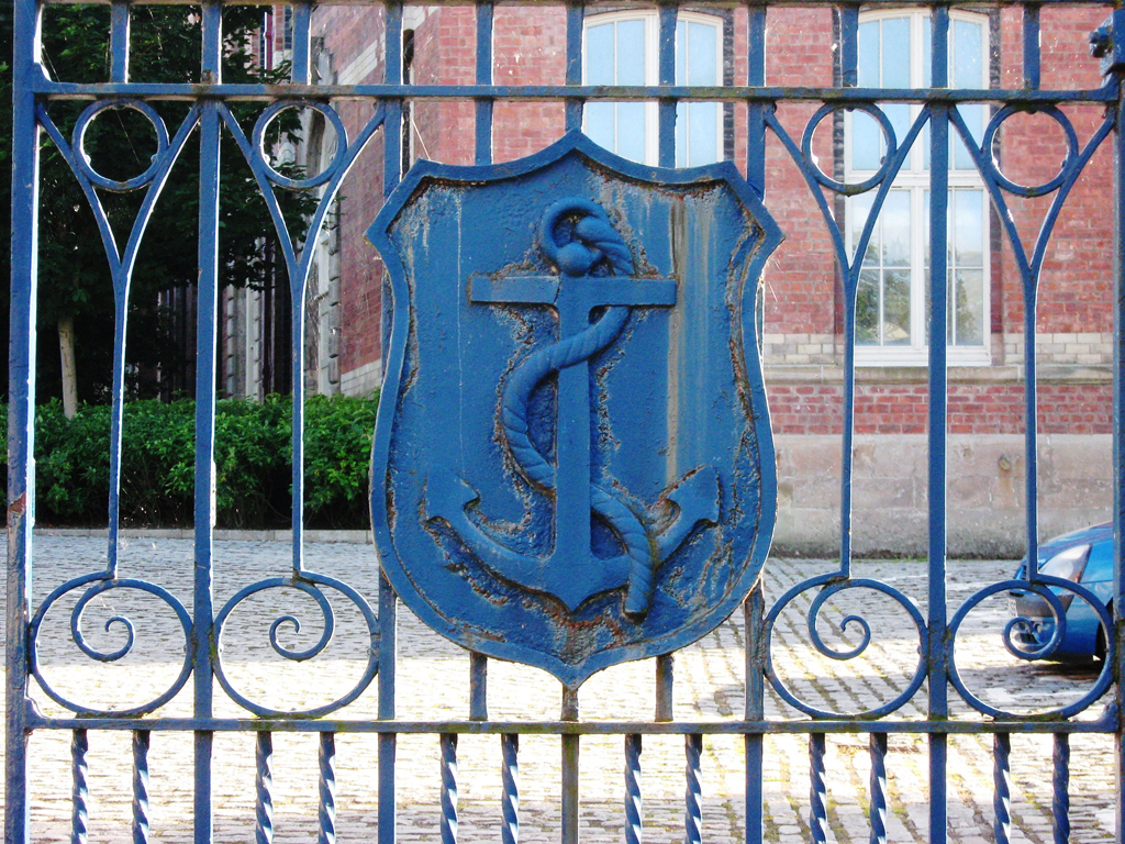
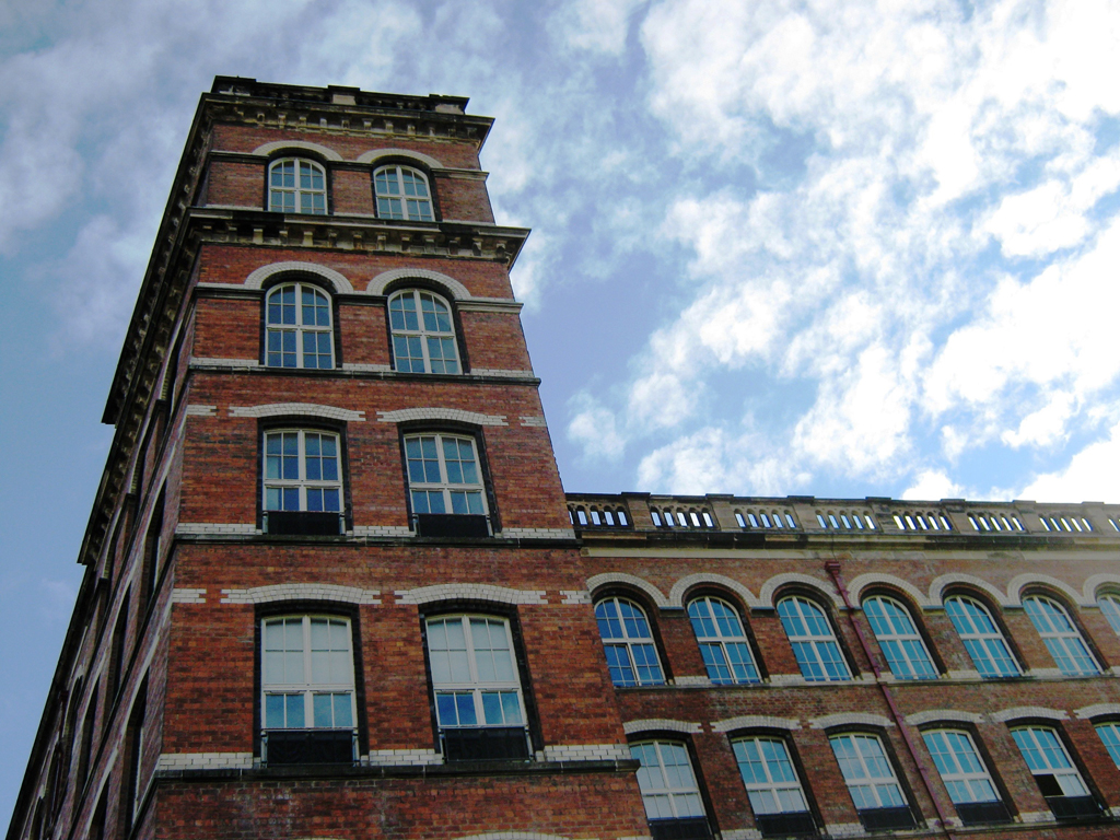
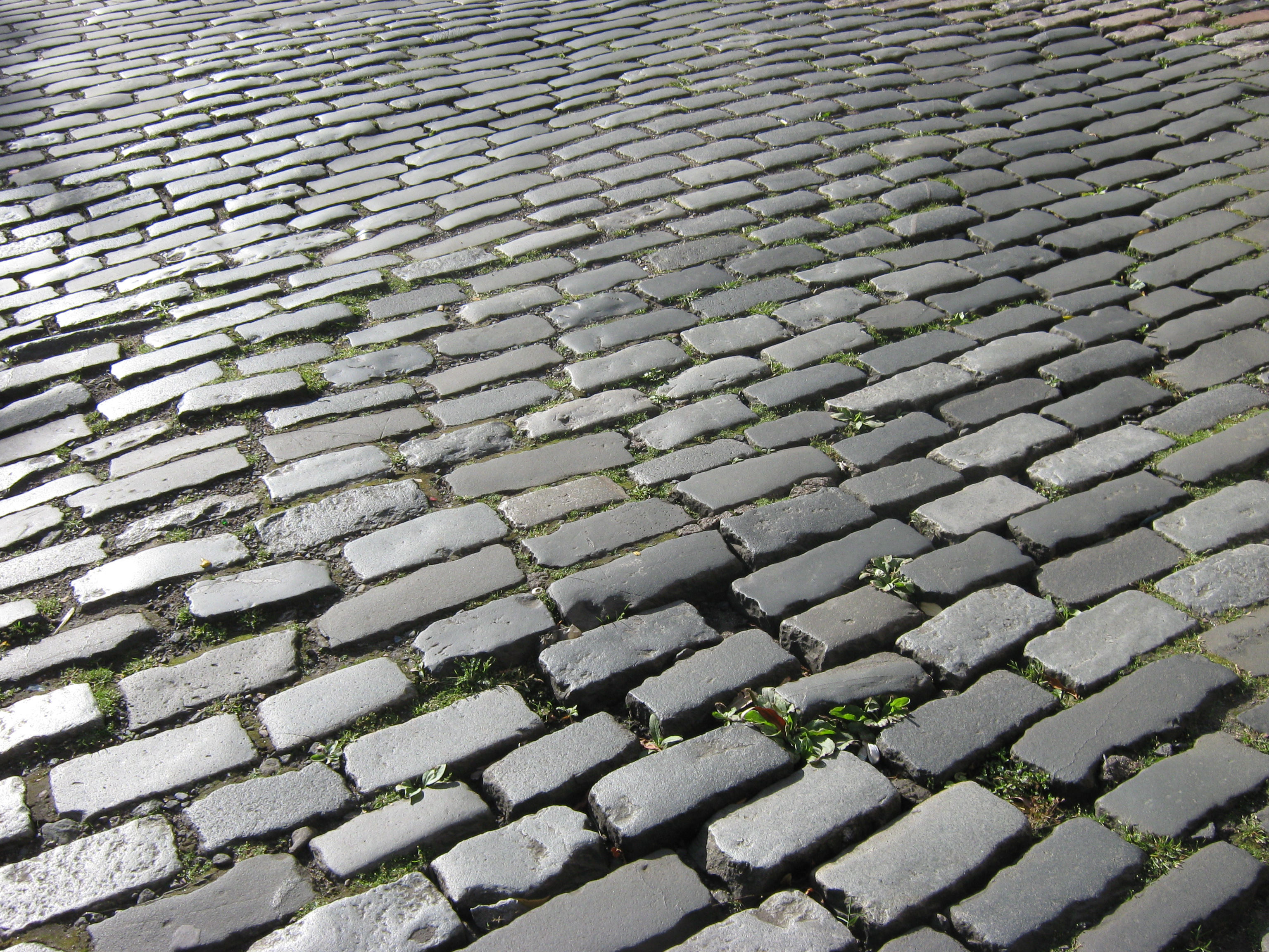
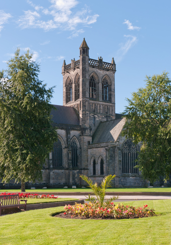
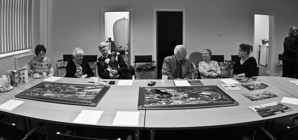
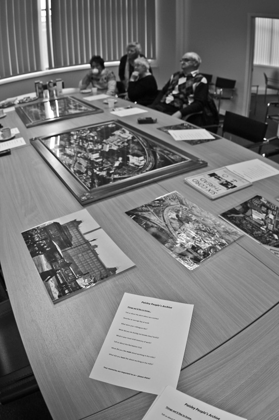
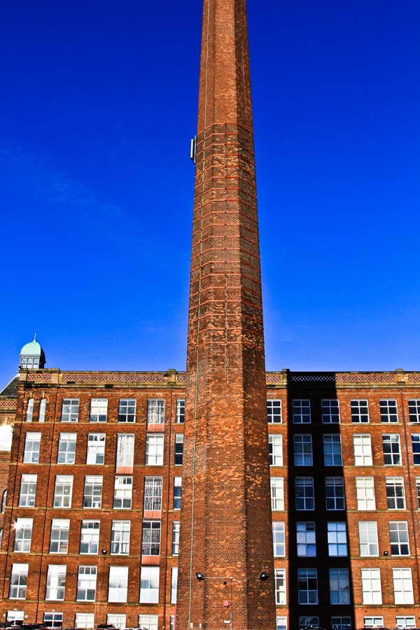
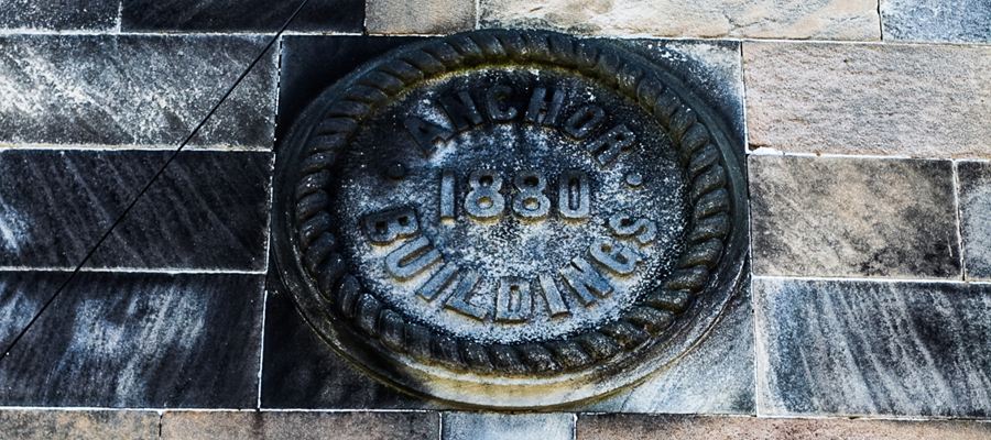
Paisley Snapshots
Paisley Snapshots
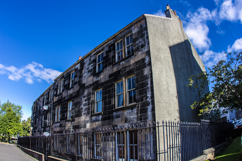
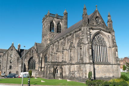
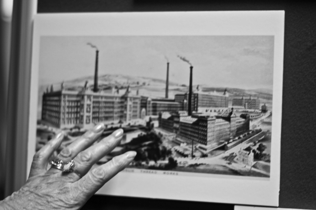
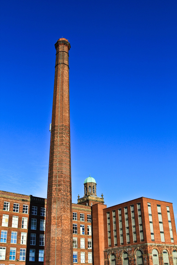
Paisley, the largest town in the historic county of Renfrewshire, is situated in the west central Lowlands of Scotland, 7 miles (11 km) west of Glasgow, and 53 miles (85 km) west of Edinburgh. The town grew up around Oakshawhead, on the west side of the White Cart Water, a tributary of the mighty River Clyde. The former burgh now forms a contiguous urban area with Glasgow.
The origin of the name ‘Paisley’ is unclear. Nineteenth century antiquaries suggested that the Romans inhabited a town, on the land now known as Paisley, sometime between 80 AD and 446 AD. The Romans named the town the ‘Vanduaria’ of Ptolemy, which appeared to have been derived from the Latinised version of the words wen dur, or white water, referring to the White Cart River that flowed past the eastern wall of their encampment. The name was said to have been lost when the Romans retreated. Etymologists have since refuted the Roman theory but discovered that the land opposite the said encampment was named variously as Passeleth, Passelay and Passelet during the twelfth century. ‘Passeleth’ was referred to in a charter granted by David I, but the following century found the name spelt as Passeleht; variations in spelling continued and in the sixteenth century the name became Paslay and Pasley, and during the 18th century the town became Paisley. (Scottish Gaelic: Pàislig)